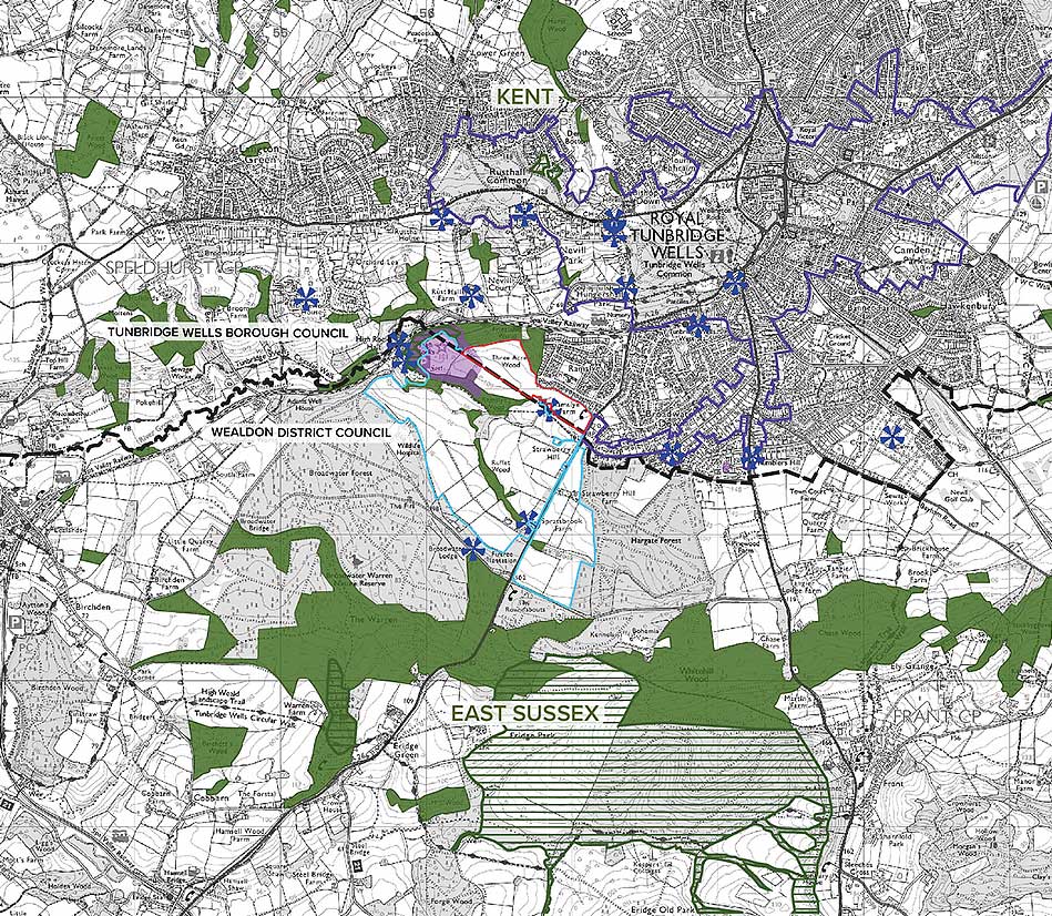
The site is located to the south of Tunbridge Wells at land west of Eridge Road. The site is currently an agricultural parcel of land with a draft Site Allocation (draft Policy RTW16) within the latest version of the Local Plan, which releases a portion of the site from the green belt and supports residential redevelopment.
Wider Site Context
Key
Land ownership boundary
Application Boundary
Conservation Area
Ancient Woodland
Scheduled Monument
Listed Buildings (within close proximity of site)
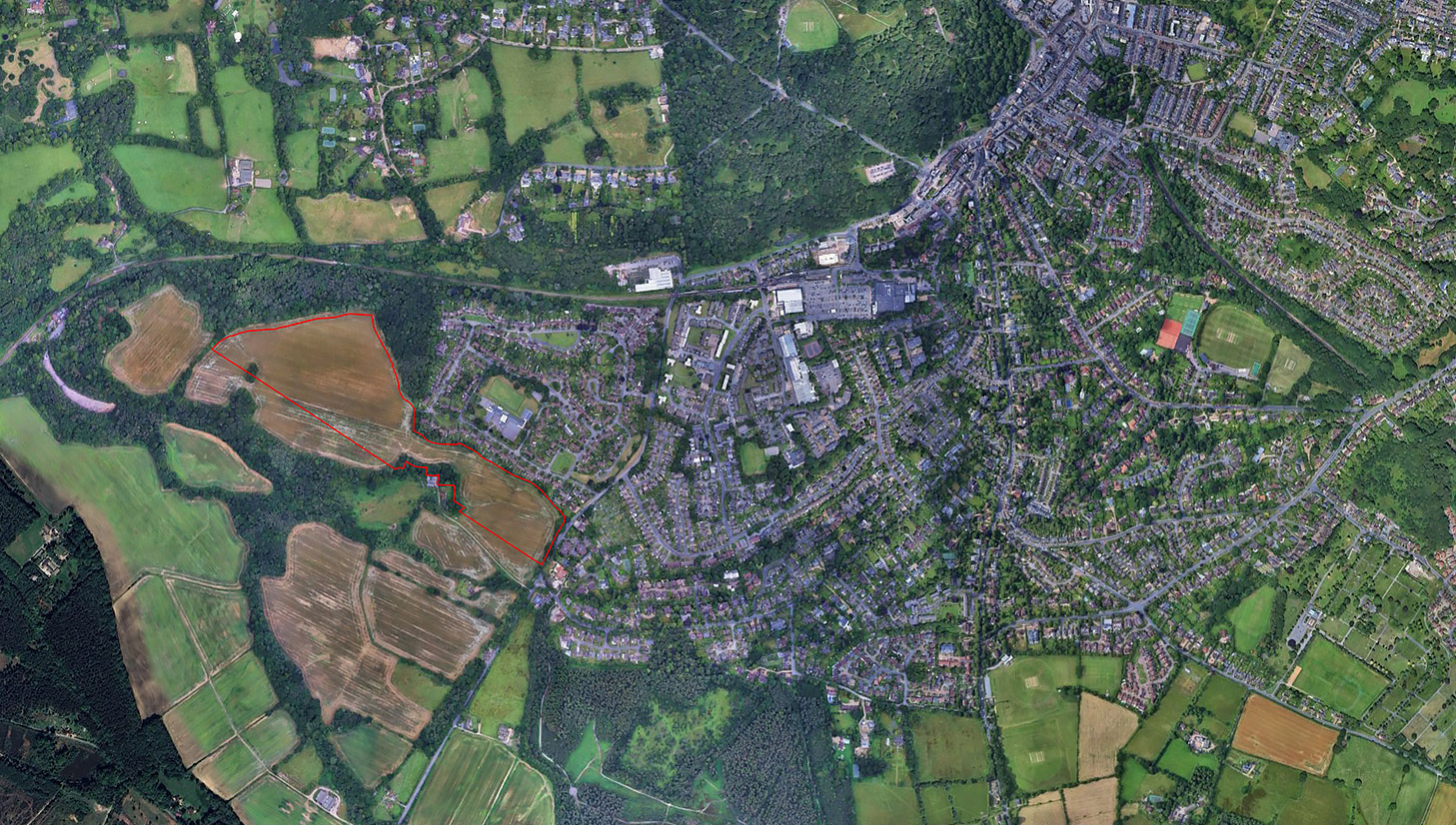
The Site
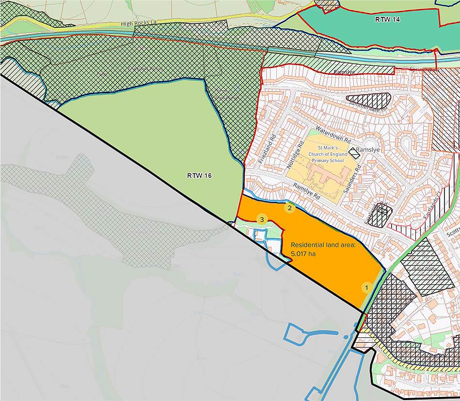
Key
Land ownership boundary
Limits to built development (policy STR-1)
Land allocated for residential use (policy RTW-16)
Open space & landscaped buffer (policy RTW-16)
Set back from Eridge Road edge
Set back from garden fence of Ramslye Road houses
Follows existing treeline north of Ramslye Farm
Policy RTW/AL 16 - Land to the west of Eridge Road at Spratsbrook Farm